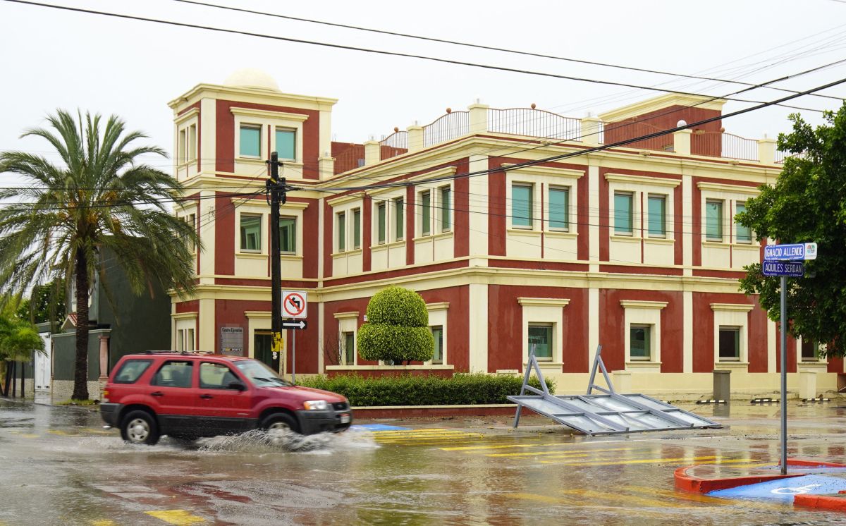
Hurricane Ágatha, category 1 on the Saffir-Simpson scale, is strengthening off the coast of the Mexican state of Oaxaca, in the Mexican Pacific, and is likely to make landfall on Monday with category 3, reported this Sunday Mexican authorities.
Ágatha, the first cyclone of the season 2022, will reach category 2 in the next few hours with winds between 154 and 177 kilometers per hour, added.
“There are many possibilities that it could impact as a category 3 hurricane, with wind gusts between 178 to 208 kilometers per hour between Puerto Escondido and Huatulco, Oaxaca”, said the coordinator of the National Meteorological Service (SMN) of Mexico, Alejandra Méndez Girón at a press conference.
“At 13.00 hours ( 18.10 GM T), the cyclone was located 240 kilometers (km) south of Punta Maldonado, Guerrero, and 240 km west-southwest of Puerto Ángel, Oaxaca”, he added.
He said that for now the phenomenon registers maximum sustained winds of 40 Kilometers per hour (km/h), gusts of 175 km/h and drift north at 4 km/h.
Méndez Girón warned that it is expected that the areas that will receive the greatest impact from the hurricane are those along the coast from Salina Cruz to Lagunas de Chacahua, Oaxaca, the southeast and east of Oaxaca and with tropical storm effects in eastern Guerrero and western Chiapas, as well as the Isthmus of Tehuantepec.
In its report, it specified that the cyclone “begins to move north and maintains the forecast that it will turn northeast with a trajectory towards the state of Oaxaca.”
Its circulation will cause very heavy rains at specific points int in Oaxaca, Chiapas, Guerrero and Tabasco, as well as strong points in Veracruz and Campeche.
For his part, the manager of Surface Water and River Engineering of the National Water Commission, Heriberto Montes , warned that the rains caused by the system could increase the flows of rivers and streams.
As well as “causing flooding in the low areas of the region with the effects of the hydrometeorological phenomenon, with the possibility of landslides and damage to roads and highway sections, for which Conagua maintains special vigilance in the rivers and dams of Chiapas, Guerrero, Oaxaca, Veracruz and Tabasco”, he added.
For this reason, the SMN, in coordination with the National Hurricane Center in Miami, Florida, established a hurricane prevention zone from Salina Cruz to Lagunas de Chacahua, Oaxaca, and a hurricane surveillance zone from Salina Cruz, Oaxaca, to Barra de Tonalá , Chiapas.
Therefore, they urged the population of the aforementioned states to take extreme precautions against rain, wind and waves (including maritime navigation) and heed the recommendations issued by the National Civil Protection System .
The SMN reported a week that foresees the formation of up to 150 named tropical phenomena for 2022, which he described as an “active season”, and predicted that of the total, both in the Atlantic and in the Pacific, at least five will impact the country.
In the case of the Pacific they said that 8 to 10 tropical storms are expected, 4 to 5 hurricanes categories 1 and 2 and 2 to 4 hurricanes 3, 4 and 5.
Meanwhile, in the forecast for the Atlantic it said that 16 to 21 systems: from 10 to 11 tro storms peaks, from 4 to 6 hurricanes categories 1 and 2, and from 2 to 4 categories 3, 4 and 5.
You may also be interested in:
–Hurricane warning in Mexico: Storm Agatha could become in the next few days
–Electric storms Friday and Saturday cloud the start of the “Memorial Day” holiday in New York; the rest of the long weekend is outlined with good weather
–NOAA anticipates until 21 tropical storms this year and no less than three major hurricanes
