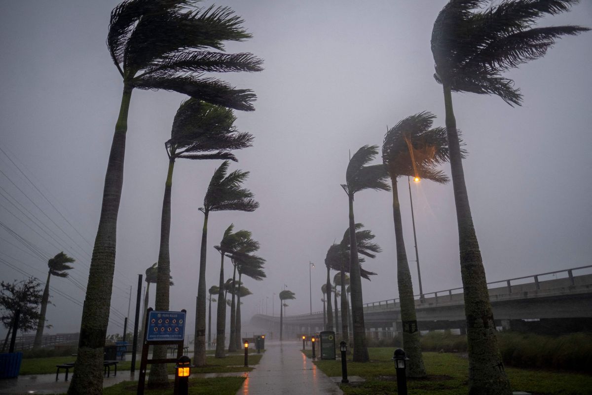
After making landfall in Cuba and causing damage to different cities in this country, Hurricane Ian is gradually approaching its next destination, which is, particularly and if there are no major changes, the west coast of Florida, which It has caused the government to request more than 2 million people to execute a mandatory evacuation plan throughout the state.
As the hours have passed, Hurricane Ian has increased in intensity. At the moment it is category 4 but some experts on the subject do not rule out that it could impact Florida as a category 5, which could be highly devastating.
On the subject, in an interview for CNN, Philip Klotzbach, Senior Research Scientist in the Department of Atmospheric Sciences at Colorado State University, spoke about the current frequency and intensity of hurricanes, as well as some characteristics that make Hurricane Ian special from others.
Why is Hurricane Ian special?
As explained by Klotzbach, Hurricane Ian will be a high-impact storm because it is intensifying very quickly after passing through Cuba.
Similarly , indicated that the special thing about Ian is that he is approaching Florida with a trajectory that is forming an oblique angle, so any very subtle change in his direction could make a big difference for those who rec They were affected by the impact of this storm surge.
The scientist recalled that precisely, the west coast of Florida is extremely prone to storm surges; but Ian, because it runs parallel to the coast, it will make a big difference where in Florida it makes landfall.
In addition, although satellite images have shown that Hurricane Ian has a circular shape, due to the speed with which it is moving, it could be that when it reaches Florida it will have a completely different shape.
For his part, Anthony Reynes, who is a meteorologist at the National Oceanic and Atmospheric Administration (NOAA), stressed that Ian is a “major” hurricane and therefore, “it is a hurricane like the one that the west coast of Florida has not seen for years”, so it is expected that it will have a significant impact on the state, with winds and floods that could be “catastrophic”.
Regarding how the hurricane has been increasing in intensity in a short time, Reynes pointed out that this is due, to a large extent, to the extremely warm waters of the Gulf of Mexico co and by the winds that exist in the upper levels of the atmosphere.
