MIAMI – Hurricane Ian reinforced with winds of 155 miles per hour (250 km/h), corresponding to category 4 (out of 5) is approaching the west coast of Florida at a speed of 9 miles (15 km), which will reduce before landfall.
In a special bulletin issued at 00.00 hours (11.00 GMT) ) the US National Hurricane Center (NHC) warned that the hurricane is about 65 miles (100 km) south-southwest of Punta Gorda, in southwestern Florida.
In the graph trajectory, the impact zone is located further north, in Tampa Bay.
The dangerous storm surge that Ian will produce in its wake can raise the sea level up to a maximum of 16 feet (4.8 meters) in some portion of the coast pe eastern Florida.
The fourth hurricane of 2022 in the Atlantic basin formed last weekend in the central Caribbean and it passed through Jamaica, the Cayman Islands and Cuba before entering the Gulf of Mexico this Tuesday.
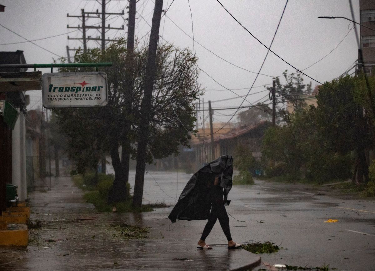
In western Cuba it left considerable damage, but also a breakdown in the electrical system attributed by the authorities to the passage of Ian has left Cuba completely without electricity.
The special NHC bulletin includes a long list of warnings and advisories of hurricane, storm surge and tropical storm that covers a large part of Florida, including the east coast, and also some sectors of the Bahamas Islands.
The area with the most serious warnings includes Cay Dry Tortugas, in the west of the Florida Keys and without a permanent population, and an area on the west coast, which goes from Chokoloskee to the Anclote River and includes Tampa Bay.
This is where Ian is expected to make landfall within several hours with “catastrophic” category 4 winds, according to the NHC.
The winds will die down after the impact and on Thursday Ian will change course to the north.
That same day in the afternoon it will emerge in the Atlantic.
The list of dangers that Ian brings with him is headed by the storm surge that, combined with the tide, causes the sea level to rise and floods normally dry coastal areas.
Forecast floods in the western area range from a minimum of one foot to 16 feet (280 mm to 4.8 meters).
The NHC also warned of the possibility of catastrophic damage from Ian’s winds, especially in the area where Ian’s center touches.
Currently, hurricane-force winds are spreading out to 65 miles (65 km) from center and storm force winds tropical out to 175 miles (280 km).
In addition, it is going to rain down on throughout Florida and eastern Georgia and the coast of South Carolina, with the risk of flash flooding in the cities and rising rivers.
Tornadoes, like the ones that occurred yesterday in Broward, the county that borders Miami-Dade, and strong surf in the Gulf of Mexico and currents off the east coast of Florida, Georgia and South Carolina complete Ian’s picture.
It may interest you:
Disney parks in Florida will close Wednesday and Thursday due to the arrival of Hurricane Ian
