MIAMI – The National Hurricane Center (NHC) placed the entire coast of South Carolina under a hurricane watch due to forecasts that Tropical Storm Ian will regain hurricane strength and make landfall in that eastern state of the United States on Friday.
After punishing Cuba and the southwest coast of Florida, Ian crossed that state last night in a northeasterly direction and, although it weakened to a tropical storm, it is still capable of causing damage with “catastrophic floods” and gusty winds.
The United States NHC placed the 00.00 (15.00 GMT) to the storm at a distant point 25 miles (40 km) from Cape Canaveral (eastern Florida) and 285 miles from Charlotte, South Carolina.
Ian is moving toward the northwest near 9 mph (25 km /h) and goes to gi rar later to the north, followed by a turn to the north-northwest with an increase in forward speed on Friday night.
On the forecast track, Ian will approach the coast of Carolina south on Friday and its center will move inland across the Carolinas on Friday night or Saturday.
Maximum sustained winds have increased to near 70 mph (110 km/h) with stronger gusts.
Ian is expected to become a hurricane again tonight and make landfall as a hurricane on Friday before experiencing rapid weakening.
According to the NHC, Ian is still a major cyclone. Tropical storm force winds extend outward up to 415 miles (665 km) from the center.
Meteorologists have warned that Ian will produce strong winds and rains and storm surge in areas of the east coast of Florida and in Georgia and the Carolinas.
In addition, alerts and surveillance are still in force for the area of the west coast of Florida where on Wednesday it hit with winds of 240 km/h.
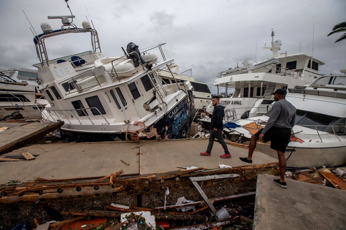
The damage caused by Ian on the coast of the Gulf of Mexico, a tourist area and not very densely populated, they have yet to be quantified, but television images show that they were significant, especially due to the entrance of the sea into the land due to the storm surge.
The dangers that Ian entails are maintained, including storm surge that can raise sea levels up to 6 feet (1,70 meters) in certain areas of the coast either Eastern Florida.
Rains produced by Ian will reach the eastern part of the US as far as the state of Virginia and there remains the risk of catastrophic and flash flooding in urban areas and of overflowing rivers in Florida, Georgia and South Carolina.
There is also a risk of one or two tornadoes across east-central and northeast Florida through this morning and Friday in coastal South Carolina and North Carolina.
Swells generated by Ian are affecting the northern coast of Cuba, the northeast coast of the Yucatan Peninsula (Mexico) and the west coast of Florida and will extend along the east coast of Florida, Georgia and North Carolina today. South.
You may be interested in:
VIDEO: Cameraman leaves thrown equipment in full transmission to rescue a family stranded in flooding in Florida by Hurricane Ian
