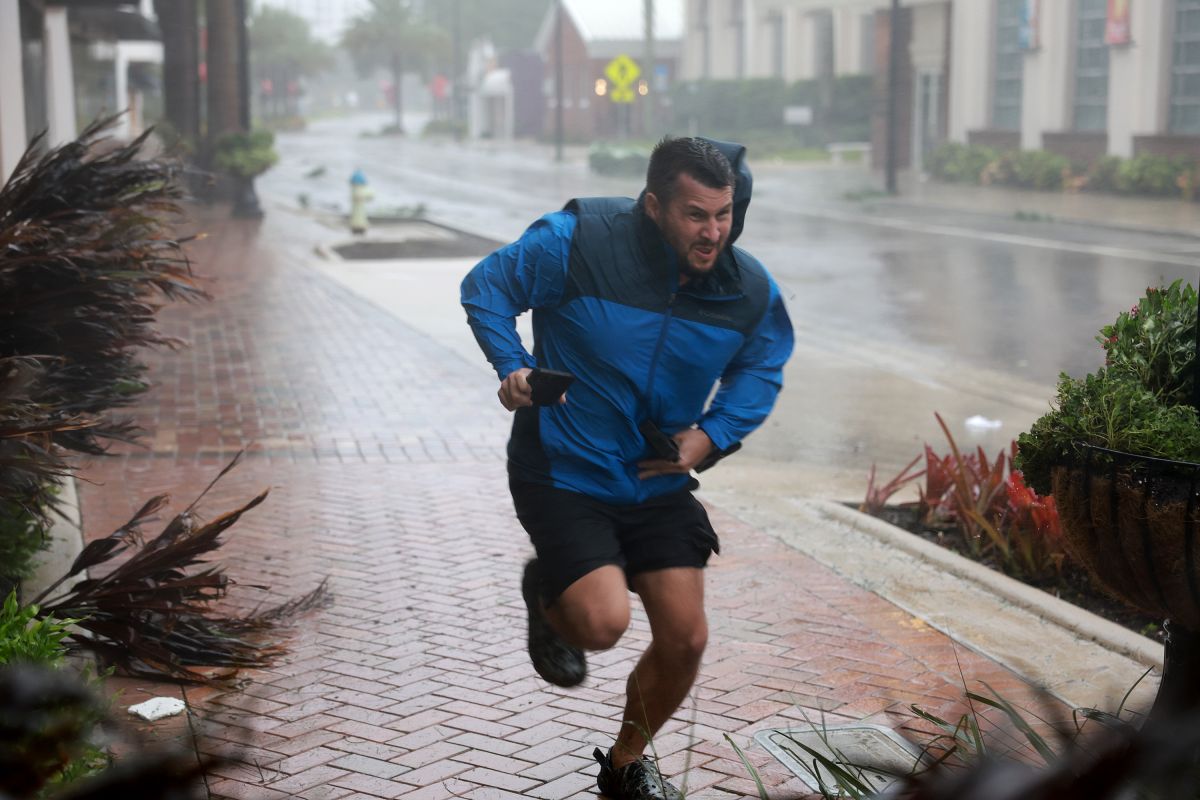
MIAMI – Ian, the powerful hurricane that caused destruction this week in Cuba and southwest Florida, lost strength in its transit through the center of the southern US state last night and is now a tropical storm, although still capable of causing damage with “catastrophic flooding” and gusty winds.
The US National Hurricane Center (NHC) warned that Ian will produce strong winds and rains and storm surge hurricane in areas of the east coast of Florida and in Georgia and the Carolinas.
This morning, after passing through the Orlando area, it was very close to Cape Canaveral, on the east coast of Florida, where the Kennedy Space Center is located, and was moving northeast with maximum sustained winds of 65 miles per hour (100 km/h).
The alert and surveillance orders of the NHC for the passage of Ian continue to be focused on the southwestern zone of Flor where it hit on Wednesday with winds of 415 km/h, but now also includes areas of the east coast of USA
Ian’s damage on the shoreline of the Gulf of Mexico, a tourist area and not very densely populated, they are yet to be quantified, but television images show that they were significant, especially due to the inflow of the sea into the land due to the storm surge.
Ian is now moving towards the northeast near 8 mph ( km/h) and is expected to turn north-northeast later , followed by a turn to the north and north-northwest with an increase in forward speed on Friday.
The NHC track forecast indicates that the center of Ian will move off the east-central coast of Florida today and then approach the coast of South Carolina on Friday.
The center will move further inland across the Carolinas on Friday night and Saturday.
Maximum sustained winds have decreased to near 65 mph (80 km/h) with gusts stronger than they may intensify to near hurricane strength as they approach the South Carolina coast on Friday.
Weakening is expected Friday night and Saturday after it makes landfall.
Tropical storm force winds extend outward up to 415 miles ( 665 km) from the center.
The dangers that Ian poses remain, including storm surge that can raise the level of the sea up to 6 feet (1.80 meters) in certain areas of the west coast of Florida.
The rains produced by Ian will reach the eastern part of the US as far as the state of Virginia and there remains the risk of catastrophic and flash flooding in urban areas and of overflowing rivers in Florida, Georgia and South Carolina.
There is also a risk of one or two tornadoes across east-central and northeast Florida through this morning and Friday in coastal South Carolina and North Carolina.
Swells generated by Ian are affecting the northern coast of Cuba, the northeast coast of the Yucatan Peninsula (Mexico) and the west coast of Florida and will spread today along the east coast of Florida, Georgia and South Carolina.
You may be interested in:
Apocalyptic images in Fort Myers, Florida: Hurricane Fiona sweeps and sinks structures
