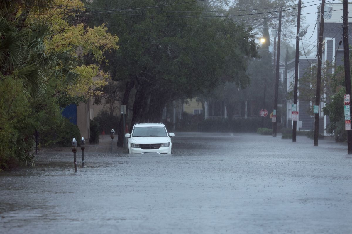
MIAMI – Hurricane Ian rapidly downgraded to a post-tropical system this Friday shortly after making landfall in South Carolina as a Category 1 hurricane with maximum sustained winds of 70 miles per hour (140 km/h).
According to the latest part of the National Hurricane Center (NHC), Ian continues to offer “dangerous storm surge, flash flooding and strong winds”.
At 5: 00 pm local time, Ian’s center was located at 35 km (20 miles) northwest of Myrtle Beach, South Carolina, and its sustained winds are now down to 85 km/h (70 m/h).
The post-tropical cyclone is moving north at a speed of about 24 km/h (15 m/h) and is forecast to move inland tonight over eastern South Carolina.
Then it will move through the center North Carolina tomorrow morning and into western Virginia.
It is forecast to dissipate over western North Carolina or Virginia on Saturday night, the NHC detailed.
The system can cause storm surge along the Carolinas coast with sea level rise of up to a maximum of seven feet (11.2 meters).
Watches and advisories issued by the NHC range from northeast Florida to North Carolina.
Tropical storm force winds extend outward to 335 km (205 miles).
In addition to storm surge, Ian is going to unleash intense rains, with the risk of flooding and overflowing of rivers, and waves and currents in the sea.
There is also a risk of tornadoes in the areas where Ian will pass, which made landfall this Friday in Georgentown, Carolina del Sur, the third time he has done so since his formation in the central Caribbean last weekend.
According to recent data, Ian, in 35 hours, it went from a tropical storm to a category 4 hurricane, something that scientists attribute to climate change.
Since its formation in the central Caribbean last weekend, Ian, the fourth hurricane of 2022, has left a trail of destruction, especially in western Cuba and Florida , where it crossed the peninsula from west to east to reach the Atlantic.
