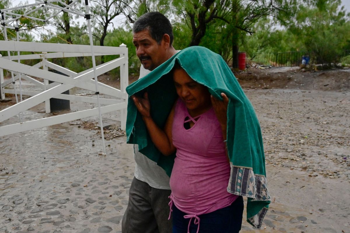
The National Meteorological Service (SMN) reported on the evolution of Hurricane Orlene this Sunday to category 4 heading towards the Mexican Pacific, where it would cause “torrential rains”.
Agreed with the SMN, Orlene was located 175 kilometers southwest of Cabo Corrientes, and 175 kilometers west-southwest of Playa Pérula, both in Jalisco, Mexico.
Foresee that Orlene makes landfall as a category 1 this coming Tuesday in southern Sinaloa, according to a meteorological graph, which depends on the National Water Commission (Conagua).
The phenomenon has maximum winds so stenidos of 215 kilometers per hour, gusts of 240 kilometers per hour and traveling north at 11 kilometers per hour, as reported by both institutions.
They warned of “intense” rains in the states of Chiapas, Colima and Sinaloa “very heavy” rains in Durango and Michoacán; and “strong” in Aguascalientes, Guerrero and Zacatecas.
“The forecast rains could be with electric shocks and hail conditions, in addition to causing landslides, increased river levels and streams, overflows and floods in low-lying areas”, detailed the SMN.
The SMN together with the National Hurricane Center in Miami, United States, are in coordination to maintain a prevention zone from San Blas, Nayarit, to Mazatlán, Sinaloa, including the Marías Islands, in Nayarit.
