By Jerald Jimenez
Feb 27, 2024, 12:23 PM EST
The storm system will cause severe weather conditions this Tuesday in the Midwest, and will arrive in the Northeast of the United States on Wednesday.
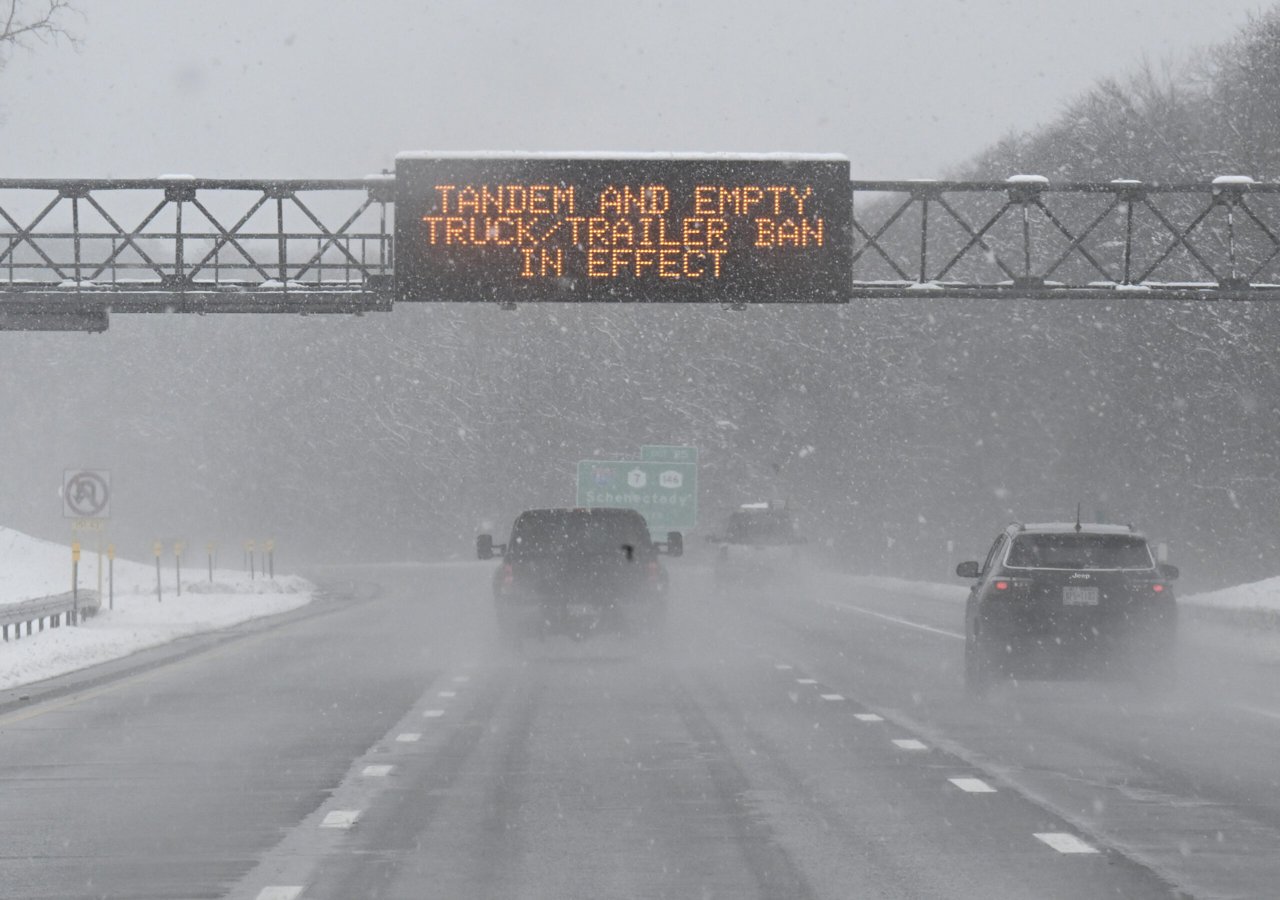
The storm, which began its journey across the country on Monday, dropped several feet of snow on the Cascade Range and the northern Rocky Mountains in the northwest. As a result, Interstate 90 had to close in both directions in Washington state.
For its part, the National Weather Service warned that the storm could cause travel problems, power outages and avalanche risks in mountainous areas.
A series of snow and wind advisories associated with this storm were in effect across the country, beginning Tuesday morning, from coast to coast.
The storm could make its way toward the Midwest, Great Lakes and Ohio Valley regions Tuesday night with severe thunderstorms that could produce massive hail, damaging winds and some tornadoes. Major cities that could be affected include Chicago, Detroit, St. Louis, Louisville, Cincinnati, Indianapolis, Columbus and Cleveland.
There is an enhanced risk of severe weather in parts of Illinois, Indiana, Kentucky and Ohio, where isolated tornadoes, some of them strong, are expected to occur, the Storm Prediction Center said.
The storm will continue its path east and reach the Northeast and the Interstate 95 corridor on Wednesday, bringing heavy rain, gusty winds and thunderstorms from Washington, DC to Boston.
The rain could cause flash flooding in some areas, especially in urban and low-lying areas. The wind could reach speeds of up to 60 miles per hour, which could down trees and power lines.
Travelers should be aware of possible flight delays and cancellations, as well as hazardous road conditions.
With information from ABC News
