
By Marlyn Montilla
Sep 10, 2024, 11:33 AM EDT
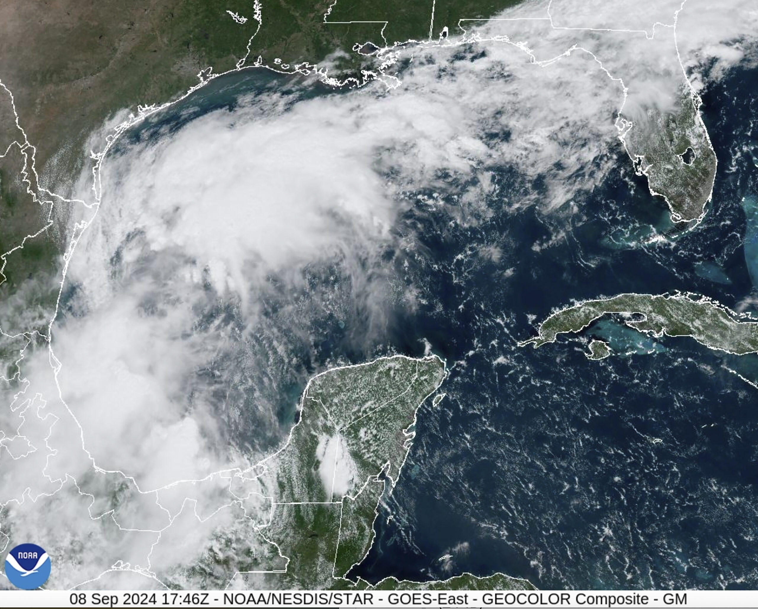
Tropical Storm Francine is nearing hurricane status as it moves toward the Gulf Coast, where some Louisiana communities have already begun evacuating and closing floodgates in anticipation of the storm’s likely landfall there on Wednesday.
Francine is likely to become a hurricane on Tuesday and strengthen into a Category 2 hurricane by landfall.
A storm of that strength is capable of causing severe damage to homes and widespread power outages, prompting Louisiana’s governor to issue a statewide emergency declaration ahead of its arrival.
As of early Tuesday, Francine was about 125 miles from the Texas-Mexico border and had maximum sustained winds of 65 mph, just 9 mph shy of hurricane status, according to the National Hurricane Center.
Portions of the upper Texas and Louisiana coasts will be hit with torrential rains, strong winds, and potentially life-threatening storm surge during Francine’s passage. The most severe impacts are likely to occur in southern Louisiana around the time of landfall.
#Francine update 🧵:
There is a danger of life-threatening storm surge for portions of the Upper Texas and Louisiana coastlines where a Storm Surge Warning is in effect. Residents in the warning area should follow advice, including evacuation orders, given by local officials. pic.twitter.com/Dl3puUCXMw— National Weather Service (@NWS) September 10, 2024
More than 5 million people are now under flood watches in the Gulf of Mexico, CNN reported.
Additionally, the storm is expected to bring rainfall totals of between 4 and 8 inches from the coast of northeastern Mexico to southern Mississippi, with some locations expecting to see as much as 12 inches of rain.
In addition to the hurricane warning in Louisiana, tropical storm watches have been issued along a stretch of the coast of that state and Texas. A storm surge warning has also been issued from High Island, Texas, to the mouth of the Mississippi River.
While moving slowly northward at 5 mph around 10 p.m. Monday, the storm is expected to gain speed and strengthen Tuesday.
It is still too early to determine exactly where Francine will hit Louisiana and the storm is likely to be stronger than expected.
The storm could be fueled by extremely warm ocean water, a product of global warming due to fossil fuel pollution, which acts primarily as jet fuel in tropical storms.
Schools will be closed in several Louisiana parishes on Wednesday and Thursday, including Jefferson, Terrebonne and Orleans, which encompasses New Orleans.
In Mississippi, residents of the town of Pass Christian have begun voluntarily evacuating.
Continue reading:
- Southern California wildfires exceed 20,000 hectares
- Phoenix marks 100 days of extreme heat with temperatures of 100 degrees Fahrenheit
- Hurricane Center issues flash flood warning for Texas coast